Introduction
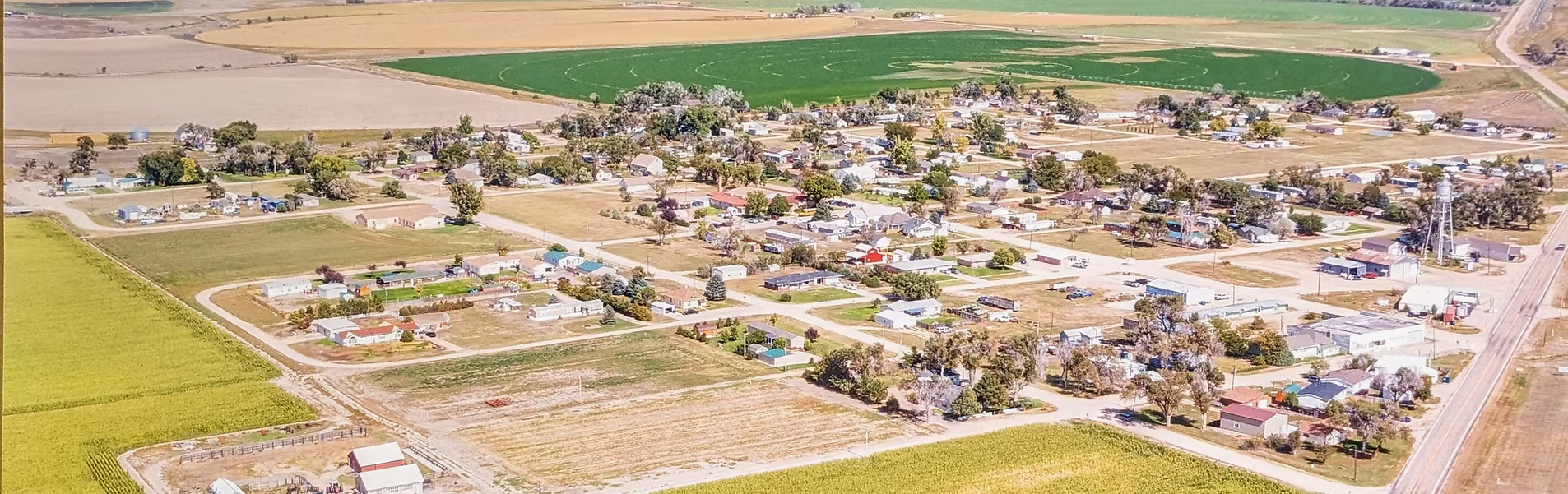
For over a century, the small town of Iliff, Colorado has experienced dramatic economic cycles driven by forces beyond its residents' control. This interactive visualization tracks population changes, agricultural industry data, and major historical events from 1900-2020 to reveal patterns of boom and bust common to small agricultural communities across the American West.
Building on research conducted for the Wikipedia article on Iliff, this Digital Humanities project applies computational methods to make economic patterns visible. By integrating census data, agricultural statistics, business counts, and historical events into an interactive timeline, we can see how infrastructure decisions, natural disasters, and agricultural industry shifts determined the fate of rural communities in the 20th century.
This visualization demonstrates how digital tools can reveal connections and patterns that traditional historical narrative cannot effectively convey—showing not just what happened to Iliff, but why small agricultural towns across America followed similar trajectories.
Also expanded the Iliff, Colorado Wikipedia article; explore it for more historical context.
Historical Context
Primary Data Visualization
Population of Iliff, Colorado (1900-2020)
Hover over data points for detailed information. Vertical lines indicate major economic events.
Sugar Beet Agriculture in Logan County (1910-1985)
The sugar beet industry drove Iliff's economy for 80 years before the Sterling factory closure in 1985 eliminated the local market.
Business Establishments Over Time
Business decline accelerated after Interstate 76 bypassed the town in 1958.
Interactive Timeline of Major Events
Click on events to view their economic impact. Filter by category to explore specific factors.
Computational Analysis: Three Distinct Economic Phases
Phase 1: Early Growth Era (1900-1940s)
Railroad connectivity and sugar beet industry expansion drove population growth and business development, attracting diverse immigrant labor forces including German Russians, Japanese workers, and Mexican immigrants. The Sterling Sugar Company factory in nearby Sterling (1905) created demand for local sugar beet cultivation, transforming Iliff into an agricultural supply hub.
Phase 2: Mid-Century Stability and Decline (1950s-1980s)
Natural disasters (1949 blizzard, 1965 flood), the Great Depression, World War II, and the Interstate 76 bypass (1958) initiated gradual population and economic decline despite continued agricultural activity.
Phase 3: Post-Industrial Collapse (1985-Present)
The 1985 Great Western Sugar Company bankruptcy and closure of the Sterling factory (12 miles away) ended the 80-year sugar beet era, devastating Iliff's economic foundation. Without a local processing facility, farmers lost their primary market. Slight population fluctuations (peak of 266 in 2010, decline to 246 by 2020) suggest ongoing resilience but no sustained recovery.
Digital Humanities Insight
This computational pattern analysis reveals what traditional narrative history cannot effectively demonstrate: Iliff's trajectory mirrors countless small agricultural towns across the Great Plains. External infrastructure decisions (railroad placement, highway routing), corporate agricultural consolidation (Sterling sugar factory closure in 1985), and the broader decline of rural America in the late 20th century determined community fates more than local agency or effort. Though Iliff never had its own processing facility, its economy remained entirely dependent on Sterling's factory 12 miles away. The data visualization makes these interconnected forces visible across time, demonstrating the value of computational methods for humanistic inquiry.